In this GIS blog I will be posting maps which I have prepared. Click on the maps to view a larger image. Sometimes you may have to click a second time on the map in order to bring the wording more into focus.
Subscribe to:
Post Comments (Atom)
In this GIS blog I will be posting maps which I have prepared. Click on the maps to view a larger image. Sometimes you may have to click a second time on the map in order to bring the wording more into focus.
This comment has been removed by the author.
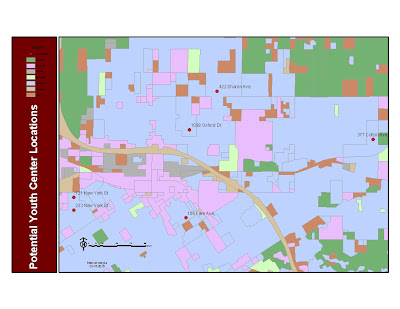
ReplyDeleteThe goal on the second map was to find the 6 best locations for a youth center based on the following criteria: a residential area containing greater than 75 youth, ages 5 to 17. I had to "union" 2 layers of attributes to achieve this goal. It was a bit more challenging. I was concerned toward the end of this deliverable because I kept seeing more than 6 locations, until I exported the data to "youthcenter.gbd" and created a new layer for chosen buildings. I actually restarted the map twice because I thought I had not followed the directions correctly. Yet, on the third try I just kept going and voila... there were the 6 locations!!
ReplyDeleteThe first map is of San Diego,California. Working with this map gave me an opportunity to explore a GIS map and check out some of the tools used to display information on a map.
ReplyDelete